Mount Rainier National Park
Fast Facts
- Location
- Founded
- Popularity
- Size
- Website
- Phone
- Yearly
- Closest City
- Time Zone
- Washington
- 1899
- 19 of 63
- 369 sm/ 956 sq kms
- www.nps.gov/mora
- (360) 569-2211
- 1,501,000 (2019)
- Ashford, WA
- Pacific
Current Weather
Map
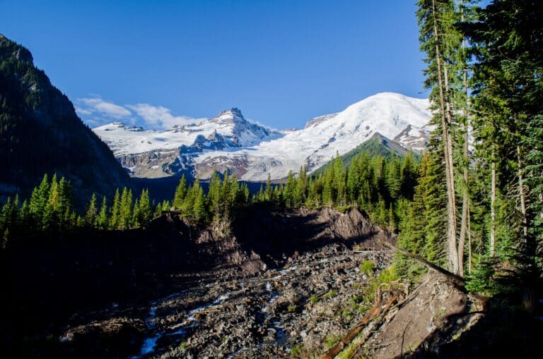
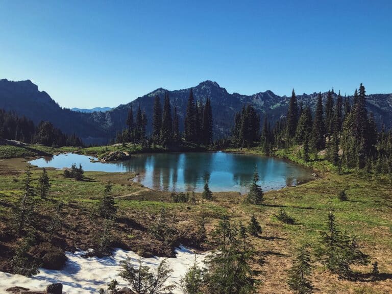
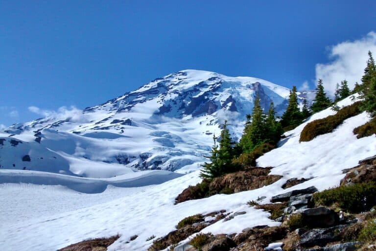
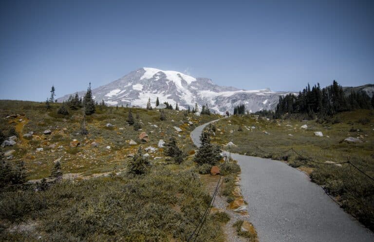
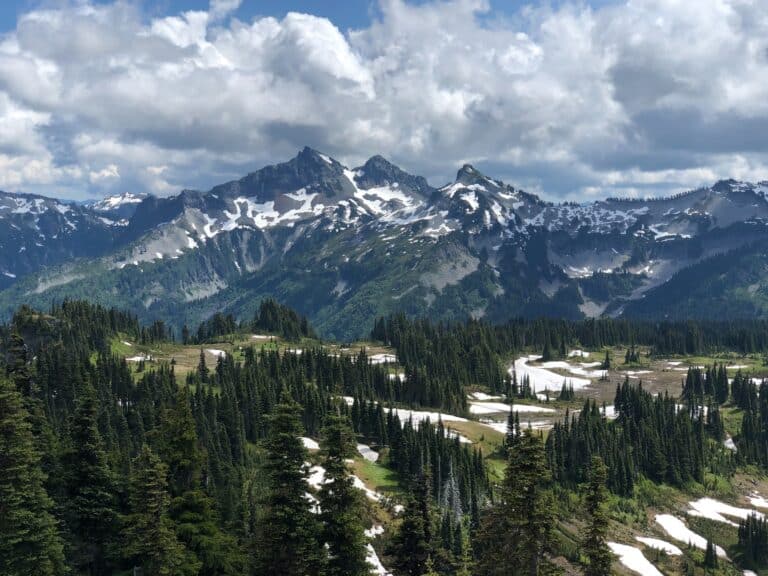
Perhaps the most recognizable mountain in the continental United States, Mount Rainier is an active volcano with a glaciated peak. At over 14,000 feet, it’s the tallest mountain in the Cascade Mountain Range. The mountain teems with life in its three life zones: forest, subalpine and alpine. Massive, thousand-year-old trees dominate the forest, giving way to vast meadows with wildflower, before leading into an environment of snow, boulders and glaciers in the highest elevations.
Established in 1899, the park is only a 90-minute drive from the Seattle-Tacoma Airport. And because of its proximity, the park is one of the more popular in the park system. Unfortunately, this can lead to crowds during the summer. The park can get cold and the weather unpredictable any time of year, but it’s also great for winter sports such as tubing and cross-country skiing. If you’re looking to climb to the top, you should know that the highest drivable portions stop at about 6,000 feet, so you’ll need to finish the last 8,000 on your own. Also, you’ll want to make sure you’re in good shape and get a climbing permit.
Getting There
Find out how to get to the park, including the closest airport and and highways.
Plan Your Trip
Things to know before coming, including cost, weather and the best time of the year to visit.
Attractions
Find out everything there is to do in the park. Don’t miss these recommendations from TripAdvisor.
Best Hikes
Discover the most popular and beautiful hikes the park has to offer. Alltrails has reviews and more.
Top 3 Must See
Limited time, or just want to hit the highlights? These are our top three “must see” attractions in the park.
Our Most Recent Blog Posts
One Day in North Cascades National Park
North Cascades National Park, situated in Washington state and spanning over 500,000 acres, is a stunning landscape. With its ecosystems, peaks, and pristine waterways it
Looking to camp in one of the most beautiful and iconic National Parks in America? Look no further than Death Valley National Park. Camping here
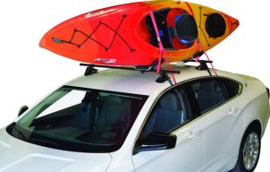
7 Best Kayak Racks for Cars Without Rails in 2022
Kayaks are a great way to get around and explore waterways, but they can be cumbersome and difficult to transport. If your car or SUV
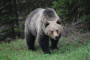
Everything You Need to Know About Bear Bangers
If you’re a hiker, camper, or outdoors enthusiast in bear country, your safety should be a primary concern. In case of a bear encounter, what
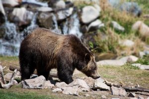
Best National Parks to See Bears
Best National Parks to See Bears The chance to see bears in the wild is still something that fills us with awe and wonder. To

The Best Camping Fan for Your Next Trip: Our Top 9 Choices
Are you looking for a great camping fan for your next trip? Whether you’re trying to keep cool or just want to have some extra
