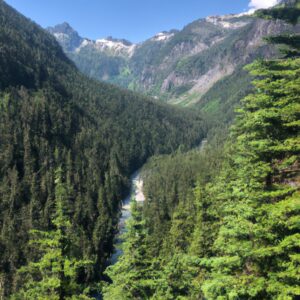
One Day in North Cascades National Park
North Cascades National Park, situated in Washington state and spanning over 500,000 acres, is a stunning landscape. With its ecosystems, peaks, and pristine waterways it
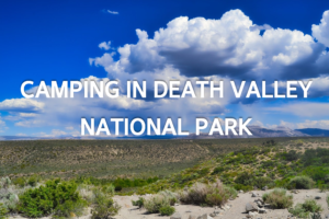
Looking to camp in one of the most beautiful and iconic National Parks in America? Look no further than Death Valley National Park. Camping here
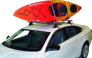
7 Best Kayak Racks for Cars Without Rails in 2022
Kayaks are a great way to get around and explore waterways, but they can be cumbersome and difficult to transport. If your car or SUV
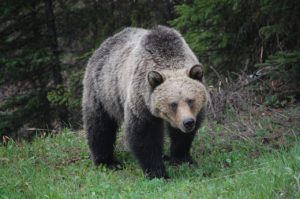
Everything You Need to Know About Bear Bangers
If you’re a hiker, camper, or outdoors enthusiast in bear country, your safety should be a primary concern. In case of a bear encounter, what
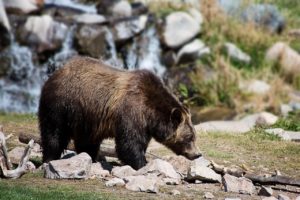
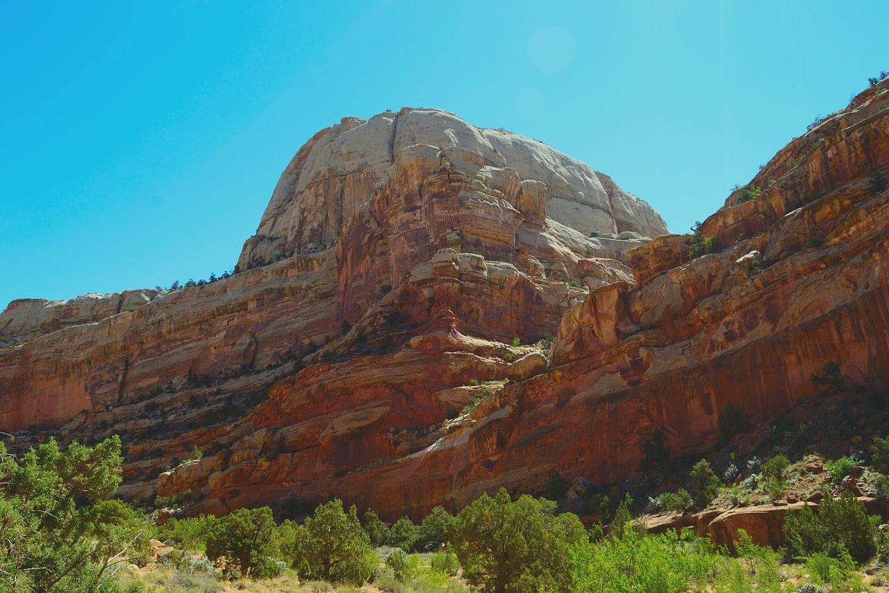
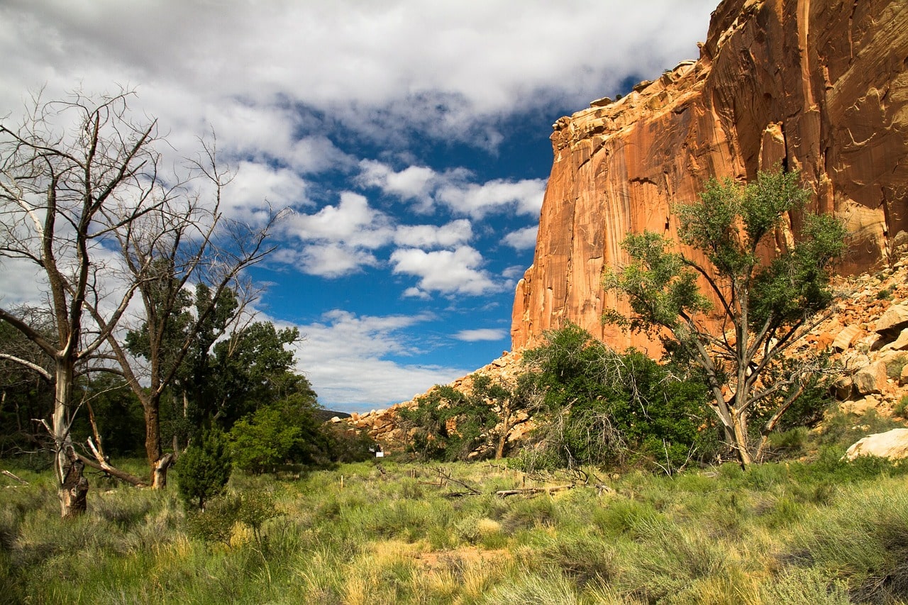
Best National Parks to See Bears
Best National Parks to See Bears The chance to see bears in the wild is still something that fills us with awe and wonder. To
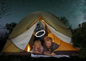
The Best Camping Fan for Your Next Trip: Our Top 9 Choices
Are you looking for a great camping fan for your next trip? Whether you’re trying to keep cool or just want to have some extra