Kenai Fjords National Park
Fast Facts
- Location
- Founded
- Popularity
- Size
- Website
- Phone
- Yearly
- Closest City
- Time Zone
- Alaska
- 1980
- 47 of 63
- 1,046 sm/ 2,710 sk
- www.nps.gov/kefj
- (907) 422-0500
- 356,600 (2019)
- Seward, AK
- Alaska
Current Weather
Map
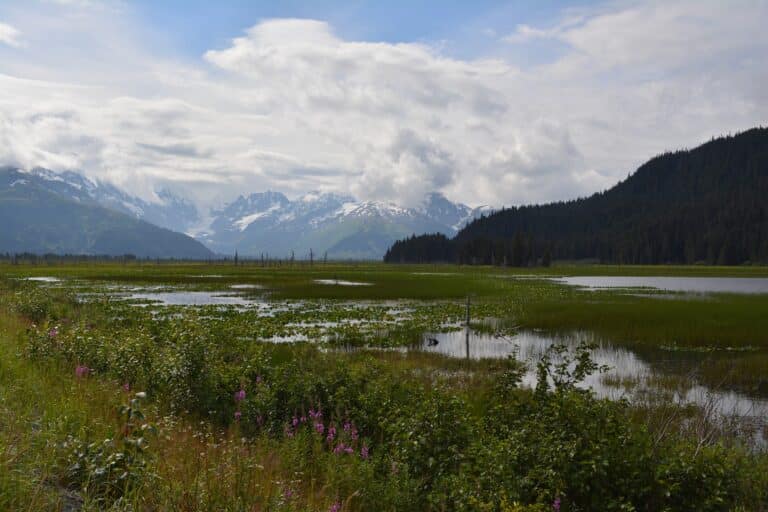
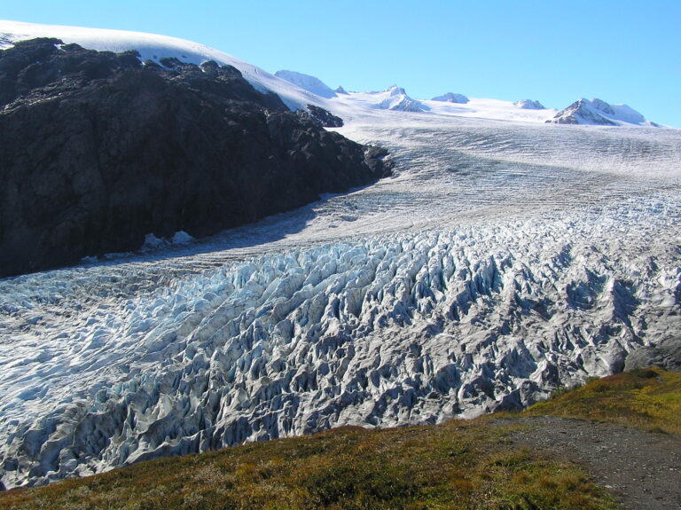
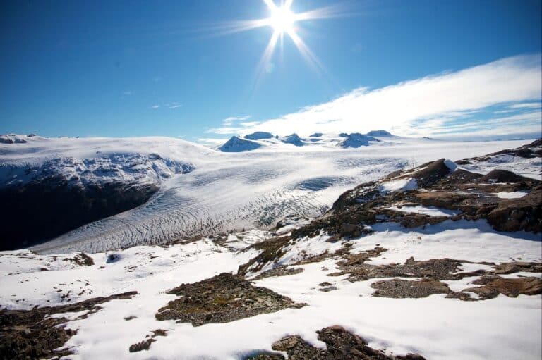
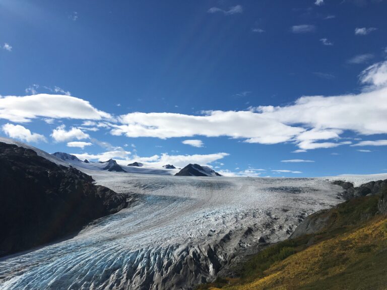
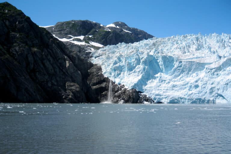
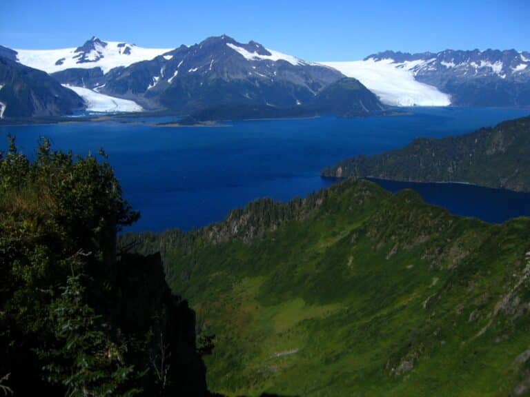
The massive Harding Icefield covers 700 square miles in Alaska, and a portion of it can be found in Kenai Fjords National Park. Deep fjords and islands, teeming with bald eagles, black bears and sea lions lead into a glacial alpine environment. The park covers over 660,000 acres and is accessible via Seward, Alaska. The park has several trails, including the Harding Icefield Trail, an 8.2 mile loop that will give you an up-close look at the parks most defining feature. There are also boat tours and kayaking available.
Established in 1980, the park is best visited in the summertime, when temperatures are moderate and days are long. In the winter, the opposite is true and many parts of the park may be inaccessible. The Harding Icefield receives approximately 35 feet of snow per year, mostly in the wintertime. Because of its remoteness and size, the park is rarely crowded, even during the high season.
Getting There
Find out how to get to the park, including the closest airport and and highways.
Plan Your Trip
Things to know before coming, including cost, weather and the best time of the year to visit.
Top Attractions
Find out everything there is to do in the park. Don’t miss these recommendations from TripAdvisor.
Best Hikes
Discover the most popular and beautiful hikes the park has to offer. Alltrails has reviews and more.
Top 3 Must See
Limited time, or just want to hit the highlights? These are our top three “must see” attractions in the park.
Our Most Recent Blog Posts
One Day in North Cascades National Park
North Cascades National Park, situated in Washington state and spanning over 500,000 acres, is a stunning landscape. With its ecosystems, peaks, and pristine waterways it
Looking to camp in one of the most beautiful and iconic National Parks in America? Look no further than Death Valley National Park. Camping here
7 Best Kayak Racks for Cars Without Rails in 2022
Kayaks are a great way to get around and explore waterways, but they can be cumbersome and difficult to transport. If your car or SUV
Everything You Need to Know About Bear Bangers
If you’re a hiker, camper, or outdoors enthusiast in bear country, your safety should be a primary concern. In case of a bear encounter, what
Best National Parks to See Bears
Best National Parks to See Bears The chance to see bears in the wild is still something that fills us with awe and wonder. To

The Best Camping Fan for Your Next Trip: Our Top 9 Choices
Are you looking for a great camping fan for your next trip? Whether you’re trying to keep cool or just want to have some extra
