Congaree National Park
Fast Facts
- Location
- Founded
- Popularity
- Size
- Website
- Phone
- Yearly
- Closest City
- Time Zone
- South Carolina
- 2003
- 51 of 63
- 41 sm/ 107 sq kms
- www.nps.gov/cong
- (803) 776-4396
- 159.450 (2019)
- Columbia, SC
- Eastern
Current Weather
Map
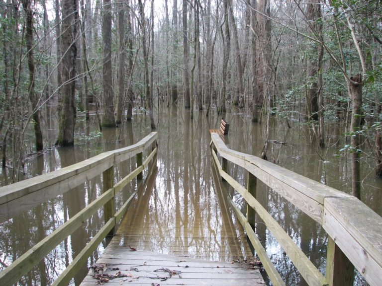
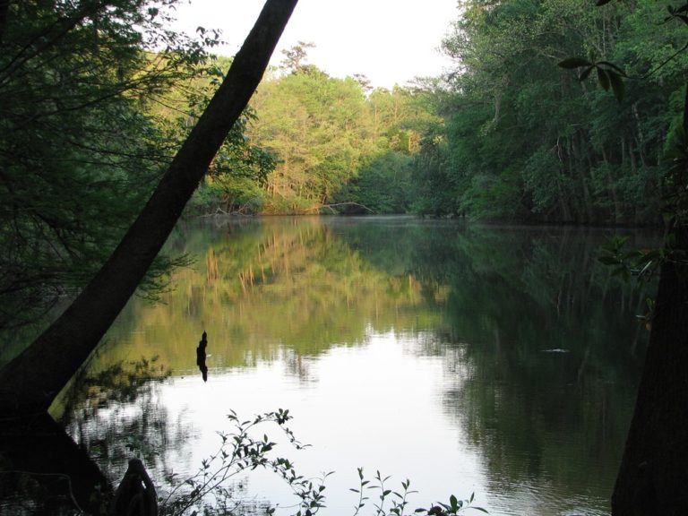
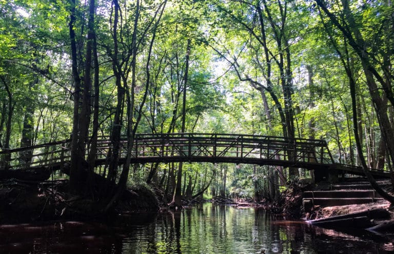
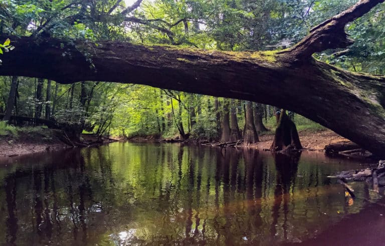
Nowhere else do you have the chance to kayak, canoe or hike through a park that boasts the largest intact expanse of old growth cypress and hardwood forest in the country. The forest sits on the floodplain of Congaree and Wateree Rivers. Several times a year, the rivers spill over their banks onto the floodplain, nourishing the cypress, loblolly pine, sweet gum, hickory, water tupelo, and oak trees populating the forest. But the parks swamps are also home to a wide array of diverse wildlife, including alligators, turkeys, otters, turtles, and a wide variety of snakes.
Established in 2003, Congaree National Park is a short drive from Columbia, SC. People looking to explore the park can hike or take a kayak or canoe on the Congaree River. Check the weather and conditions before visiting. During the summer the heat can be oppressive and the mosquitos relentless. Also, you’ll want to make sure the trails are passable and not buried under water. Planning is essential to help you get the most enjoyment out of the park.
Getting There
Find out how to get to the park, including the closest airport and and highways.
Plan Your Trip
Things to know before coming, including cost, weather and the best time of the year to visit.
Attractions
Find out everything there is to do in the park. Don’t miss these recommendations from TripAdvisor.
Best Hikes
Discover the most popular and beautiful hikes the park has to offer. Alltrails has reviews and more.
Top 3 Must See
Limited time, or just want to hit the highlights? These are our top three “must see” attractions in the park.


Our Most Recent Blog Posts
One Day in North Cascades National Park
North Cascades National Park, situated in Washington state and spanning over 500,000 acres, is a stunning landscape. With its ecosystems, peaks, and pristine waterways it
Looking to camp in one of the most beautiful and iconic National Parks in America? Look no further than Death Valley National Park. Camping here
7 Best Kayak Racks for Cars Without Rails in 2022
Kayaks are a great way to get around and explore waterways, but they can be cumbersome and difficult to transport. If your car or SUV
Everything You Need to Know About Bear Bangers
If you’re a hiker, camper, or outdoors enthusiast in bear country, your safety should be a primary concern. In case of a bear encounter, what
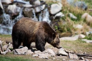
Best National Parks to See Bears
Best National Parks to See Bears The chance to see bears in the wild is still something that fills us with awe and wonder. To

The Best Camping Fan for Your Next Trip: Our Top 9 Choices
Are you looking for a great camping fan for your next trip? Whether you’re trying to keep cool or just want to have some extra
