Saguaro National Park
Fast Facts
- Location
- Founded
- Popularity
- Size
- Website
- Phone
- Yearly
- Closest City
- Time Zone
- Arizona
- 1994
- 25 of 63
- 143 sm/ 371 sq kms
- www.nps.gov/sagu
- (520) 733-5100
- 1,020,000 (2019)
- Tucson, AZ
- Mountain
Current Weather
Map
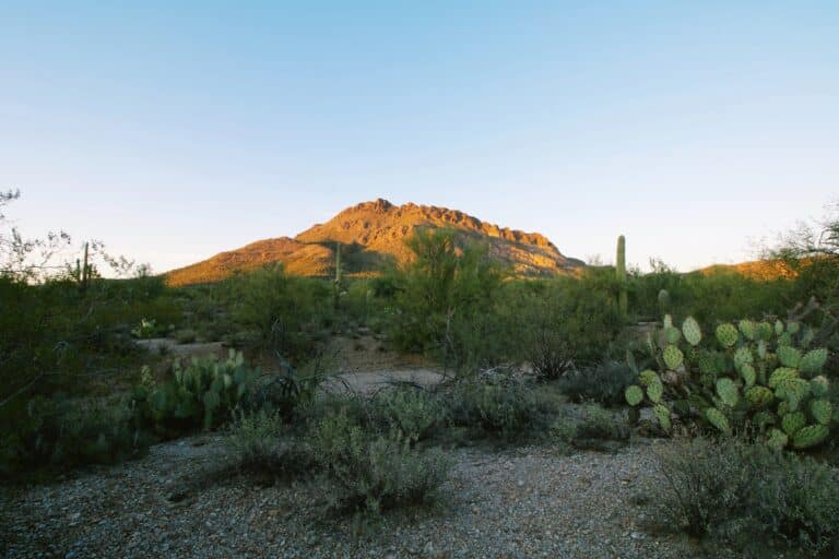
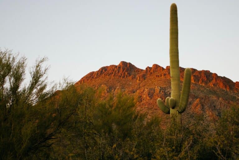
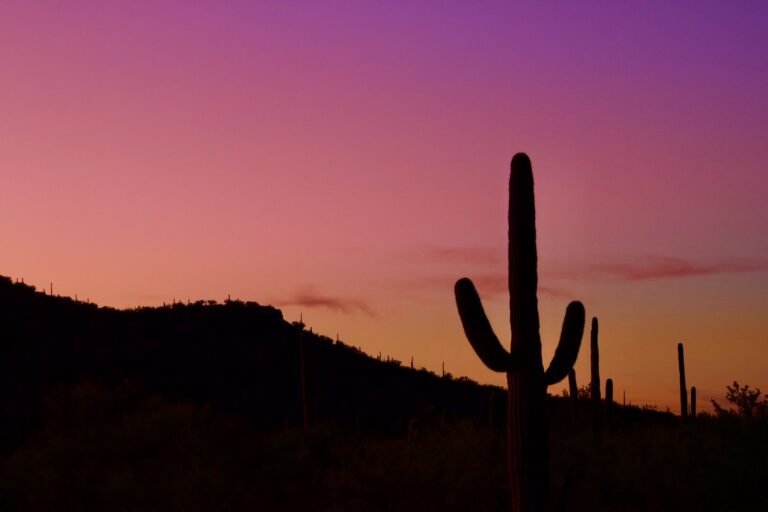
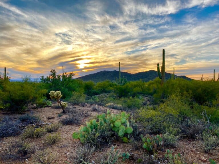
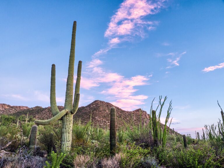
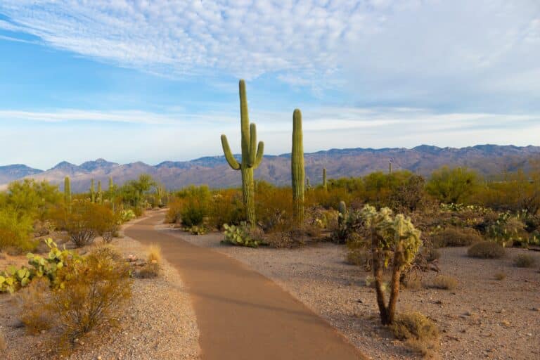
Saguaro National Park, in Arizona, gets its name from the tree-like cactus that can grow to over 40 feet tall. The trees can also live to about 150 years old, not growing their “arms” till about age 75. They’re a symbol of the Sonoran Desert and one of the most recognizable plants on earth. The park is split between an Eastern and Western district, on either side of Tucson. Both have amazing views of the Saguaro and desert landscape. The park is great for hiking, mountain biking and horseback riding. There is only back country camping in the park, but because of its proximity to Tucson there are plenty of options for lodging in and around the city.
Established as a national park in 1994, Saguaro is very easy to get to. Both districts are a short drive from Tucson. The park doesn’t suffer too much from overcrowding. Many people will choose one district and do the park in a day. Summer months will bring extremely hot temperatures, usually in excess of 100 Fahrenheit. The winter is a popular time to visit, as you’ll still have temperatures in the 60s. If you visit at the end of April, you may be able to witness the saguaros blooming.
Getting There
Find out how to get to the park, including the closest airport and and highways.
Plan Your Trip
Things to know before coming, including cost, weather and the best time of the year to visit.
Attractions
Find out everything there is to do in the park. Don’t miss these recommendations from TripAdvisor.
Best Hikes
Discover the most popular and beautiful hikes the park has to offer. Alltrails has reviews and more.
Top 3 Must See
Limited time, or just want to hit the highlights? These are our top three “must see” attractions in the park.
Our Most Recent Blog Posts
One Day in North Cascades National Park
North Cascades National Park, situated in Washington state and spanning over 500,000 acres, is a stunning landscape. With its ecosystems, peaks, and pristine waterways it
Looking to camp in one of the most beautiful and iconic National Parks in America? Look no further than Death Valley National Park. Camping here

7 Best Kayak Racks for Cars Without Rails in 2022
Kayaks are a great way to get around and explore waterways, but they can be cumbersome and difficult to transport. If your car or SUV

Everything You Need to Know About Bear Bangers
If you’re a hiker, camper, or outdoors enthusiast in bear country, your safety should be a primary concern. In case of a bear encounter, what

Best National Parks to See Bears
Best National Parks to See Bears The chance to see bears in the wild is still something that fills us with awe and wonder. To

The Best Camping Fan for Your Next Trip: Our Top 9 Choices
Are you looking for a great camping fan for your next trip? Whether you’re trying to keep cool or just want to have some extra
